If you have ever tried to find a house in an Indian city using only Google Maps, you know the feeling.
The app takes you to the general area.
Then the real navigation begins.
“Near the temple.”
“Behind the old market.”
“Opposite the blue gate.”
“Call when you reach the main road.”
For everyday consumers, this is inconvenient but manageable.
For logistics, it is a serious operational problem.
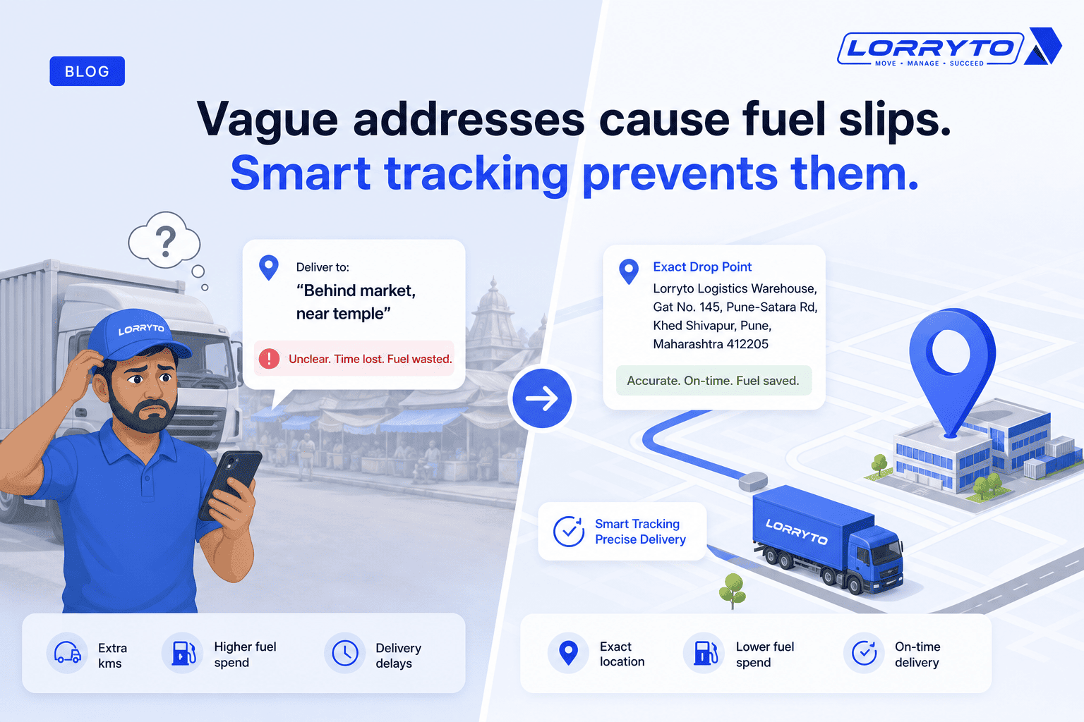
A delivery executive may lose 15–45 minutes finding the correct gate. A truck driver may reach the right pin code but the wrong loading point. A transport office may spend hours on phone calls trying to confirm where a vehicle actually is — or where it was supposed to go.
Google Maps is excellent at many things.
But Indian logistics needs more than a consumer navigation app.
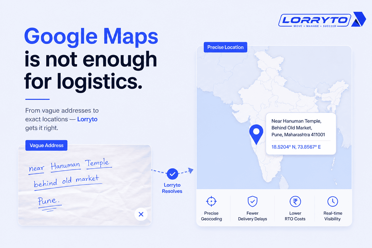
India’s addressing problem is unique
India does not always follow the clean street-number model that many mapping systems were built for.
Research from MIT Media Lab notes that in India, roughly 80% of addresses are written relative to a landmark — often 50 to 1,500 metres away from the actual destination. That makes precise geolocation difficult, especially for emergency services and logistics companies that depend on accurate routing and on-time performance.
In practice, an Indian address is often a set of human instructions rather than a strict geographic identifier:
- landmarks instead of house numbers
- local names that do not appear on official maps
- incomplete or inconsistent pin codes
- informal directions that only locals understand
This is not a small edge case.
It is how a large part of the country actually works.
And that is why address understanding — not just address lookup — is becoming one of the most important frontiers in Indian logistics technology.
Google Maps is still important — but it is not the full answer
Before going further, it is worth being clear: Google Maps is not obsolete for Indian logistics.
Google has invested heavily in India-specific improvements:
- Plus Codes give locations without traditional street addresses
- AI-powered updates for Google Maps in India include features such as Address Descriptors and better local-language understanding
For many use cases — checking traffic, opening Street View, getting a general route, or sharing a location link — Google Maps remains extremely useful.
That is exactly how many transport teams use it today: as a complement to their own systems, not as a replacement for operational software.
The gap appears when logistics needs to go beyond navigation:
- Which exact gate or dock should the truck enter?
- What does this informal customer address actually mean?
- Can this route be used for a heavy vehicle?
- How do we connect location to trip status, customer updates, and fleet decisions?
That is where the conversation shifts from maps for driving to maps for logistics operations.
Logistics needs more than “turn left in 200 metres”
Consumer navigation assumes a person in a car who can adjust on the spot.
Transport operations assume something different:
- a truck with size and weight constraints
- a loading point that may not match the delivery pin
- a customer who expects ETA updates, not just arrival
- an office that needs location tied to revenue, expense, and trip context
So the question changes.
It is no longer only:
“How do I reach this place?”
It becomes:
“Where exactly should this truck go?”
“What does this address mean operationally?”
“What should the fleet do with this location information?”
That is the difference between digital mapping and location intelligence.
From address matching to address understanding
Traditional geocoding tries to match text to a known place in a database.
That works well when addresses are structured and stable.
But as Amazon India’s research on loosely structured addresses explains, many addresses in India and similar markets do not follow a standard format. Systems that rely only on exact string matching struggle with cold-start addresses, missing building-level detail, and noisy customer input.
The next step is address understanding:
- interpreting landmarks and local references
- learning from historical delivery outcomes
- resolving approximate locations when precision is impossible
- improving over time as more trips are completed
This is not just a map feature.
It is an AI problem.
And Indian logistics companies are already investing in it.
India is building its own location-intelligence layer
One of the clearest examples is Delhivery Maps and its GeoNaksha address-intelligence approach.
Delhivery’s focus is not simply showing roads.
It is building systems that can understand Indian addresses, improve first-attempt delivery, reduce failed deliveries, and support logistics operations at scale.
That matters because last-mile failure is expensive.
When a truck or delivery vehicle reaches the wrong point, the cost is not just fuel or time. It also includes:
- extra phone calls
- repeated attempts
- idle vehicle time
- customer dissatisfaction
- higher operational pressure on dispatch teams
Better address intelligence directly affects profitability — especially in tier-2 and tier-3 markets where informal addressing is common.
Truck routing is not the same as car routing
Another reason consumer maps are not enough: a route that works for a car may be wrong for a truck.
Truck routing must consider:
- vehicle height, width, length, and weight
- axle load and commercial restrictions
- road types that passenger navigation may ignore
- loading/unloading practicality, not just fastest driving time
Platforms such as Mappls offer routing profiles specifically for trucking, with parameters for dimensions, weight, axle load, and hazardous materials. Their Routing API documentation distinguishes trucking from standard driving profiles — a reminder that fleet routing and consumer navigation are different products solving different problems.
For long-haul and commercial transport, this distinction matters every day.
A “shortest route” on a map app is not always the safest or most operational route for a heavy vehicle.
Fleet management needs location in context
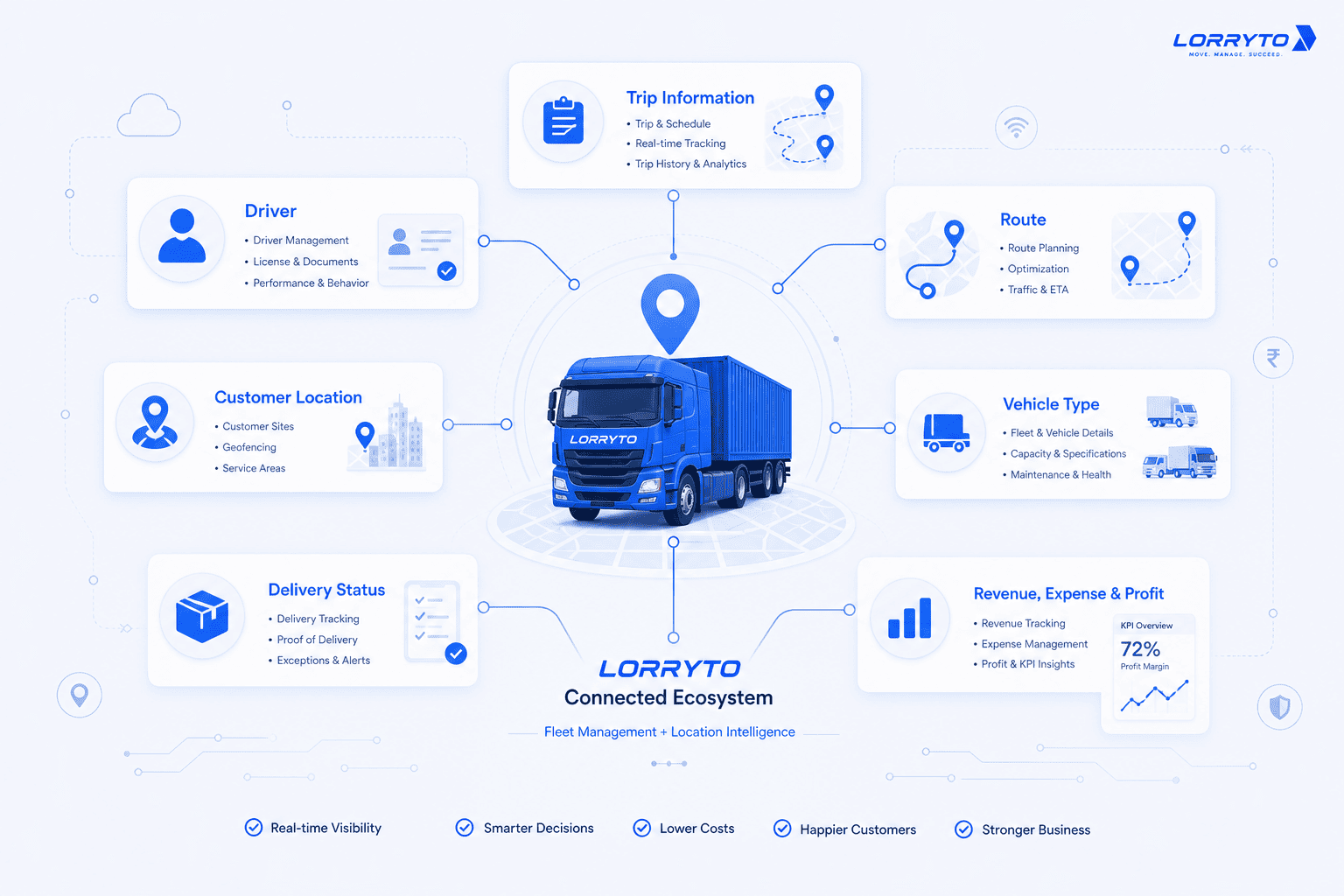
Location becomes much more valuable when it is connected to transport operations.
Knowing where a truck is is useful.
Knowing where it is in relation to a trip, a customer, a delay, a document, or a profit figure is much more powerful.
That is why modern fleet platforms are moving toward maps inside operational systems rather than maps as standalone tools.
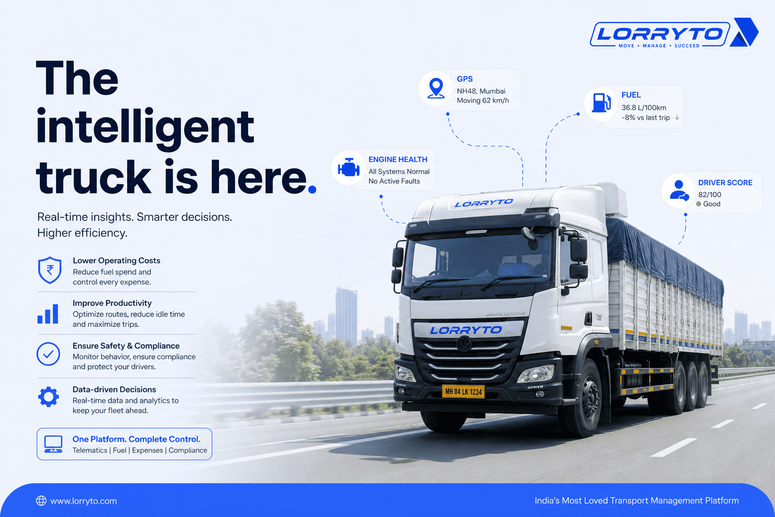
For example, on Lorryto’s Vehicles list, operators can see vehicle-level KPIs such as revenue, expense, and profit alongside Current Location when the assigned driver shares GPS from the Driver Mobile App. The location can be opened in Map view / Google Maps for traffic or street-level detail — while the transport record, trip history, and financial context stay inside the TMS.
This is an important distinction:
- Google Maps helps answer “Where is this place?”
- Transport software helps answer “What is happening with this vehicle and this trip?”
The future value comes from bringing those answers closer together.
The real cost of bad addresses
Poor location data does not only create confusion at the gate.
It creates systemic inefficiency.
Research associated with MIT Media Lab contributors has estimated that inaccurate addressing may cost India roughly $10–14 billion annually, or around 0.5% of GDP — driven largely by wasted time, failed deliveries, repeated attempts, and coordination overhead across logistics, manufacturing, and emergency services.
Even if the exact number varies by sector, the pattern is consistent:
Bad addresses create extra movement.
Extra movement creates:
- higher fuel and labour cost
- lower asset utilisation
- more customer follow-ups
- more manual coordination in the transport office
For transporters running on thin margins, that waste shows up directly in profitability.
Delivery data creates a learning loop
One reason AI maps are especially relevant in India is the availability of operational feedback.
Every completed trip, failed delivery, corrected pin, and driver correction teaches the system something:
- this landmark usually means that lane
- this customer gate is not where the pin code centroid suggests
- this industrial area uses a different entrance after 6 p.m.
- this address text often resolves to the same small cluster of buildings
Amazon’s work on hard-to-resolve addresses shows the direction clearly: systems can learn geospatial proximity from delivery history and improve over time, especially for addresses that traditional geocoders miss.
That learning loop is difficult for a standalone map app to replicate on its own.
But it fits naturally inside logistics platforms that see thousands of real trips.
Where this connects to Agentic AI
If you have been following the evolution of AI in transport, this may sound familiar.
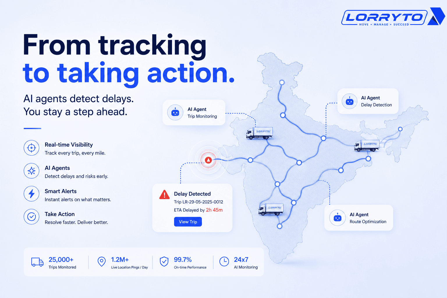
In our earlier post on Agentic AI in transportation, we discussed how transport software is moving from showing information to helping decide what to do next.
Maps follow a similar path.
First, they show location.
Then, they help interpret location.
Then, they may recommend or trigger action:
- flag that a truck is deviating from route
- suggest a revised ETA based on live conditions
- notify a customer automatically
- alert dispatch when a vehicle has been idle too long near a loading point
Location intelligence and agentic workflows overlap because both depend on context.
A pin on a map is not enough.
The system needs to understand what that pin means for the operation.
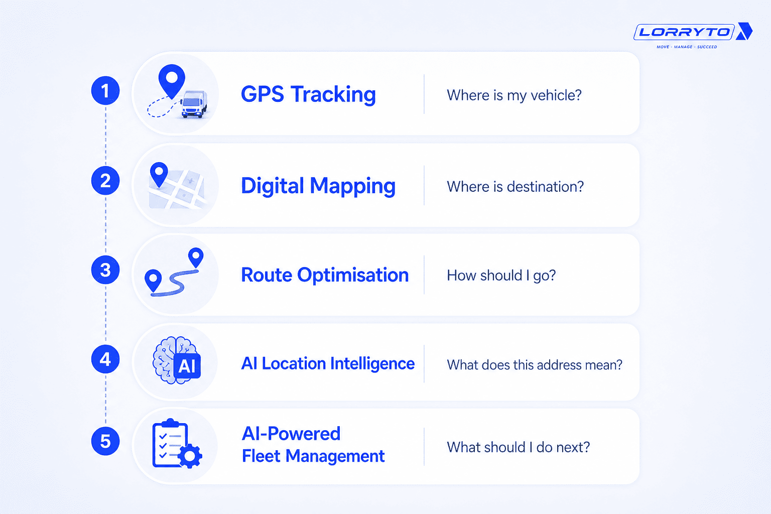
The evolution ladder for transport location technology
It helps to see this as a progression rather than a single product upgrade:
- GPS tracking — Where is my vehicle?
- Digital mapping — Where is the destination?
- Route optimisation — How should I go?
- AI location intelligence — What does this address actually mean?
- AI-powered fleet management — What should I do next?
Most transport businesses in India are somewhere on this ladder today.
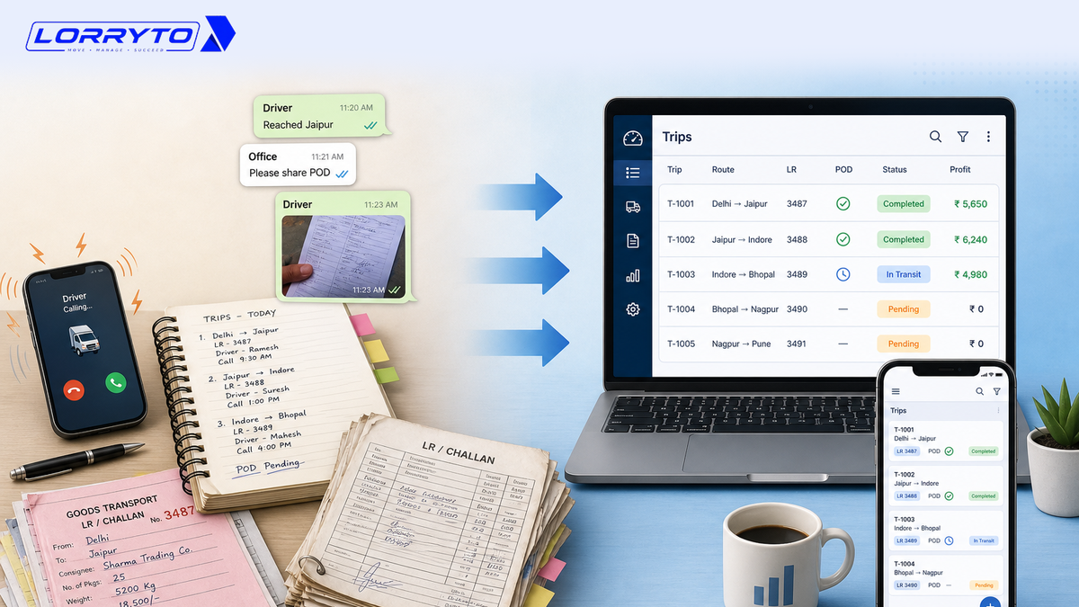
Many have moved beyond phone calls and paper records into digital trip tracking.
The next leap is not just better pins on a map.
It is maps that understand transportation.
What this means for Indian transporters
You do not need to wait for a perfect AI map to start improving location operations.
There are practical steps available now:
- Digitise trip and vehicle records so location is tied to operational data, not isolated phone updates.
- Use driver GPS sharing where appropriate so the office sees live vehicle context instead of guessing.
- Keep Google Maps as a complement for traffic, street view, and last-mile visual confirmation.
- Treat address quality as an operations issue, not just a customer-data issue — vague consignee details create real cost downstream.
- Watch industry platforms such as Delhivery Maps, Mappls trucking APIs, and Google’s India-specific map improvements to understand where the market is heading.
If you are starting from paper records or disconnected phone updates, the first step is simpler: get trips, vehicles, and locations into one system. Getting started with Lorryto is built for that foundation — live location when drivers share GPS, vehicle-level visibility, and operational records in one place.
AI-powered address intelligence for every transporter may still be evolving.
But the direction is clear.
The future belongs to maps that understand transportation
Google Maps changed how people navigate.
AI maps could change how logistics understands places.
That difference matters in India more than almost anywhere else.
Because here, an address is often not a precise coordinate.
It is a story.
And logistics runs on whether that story can be translated into action — the right gate, the right route, the right vehicle, the right update, at the right time.
The transporters who connect location, trips, and decisions early will be best placed as this layer matures.
That is why AI maps are not just a tech trend.
They are part of the next operating system for Indian transport.
Related reading
Ready to run trips without registers?
Create LRs, track payments, and keep documents in one place with Lorryto — free trial available.
Start Free Now